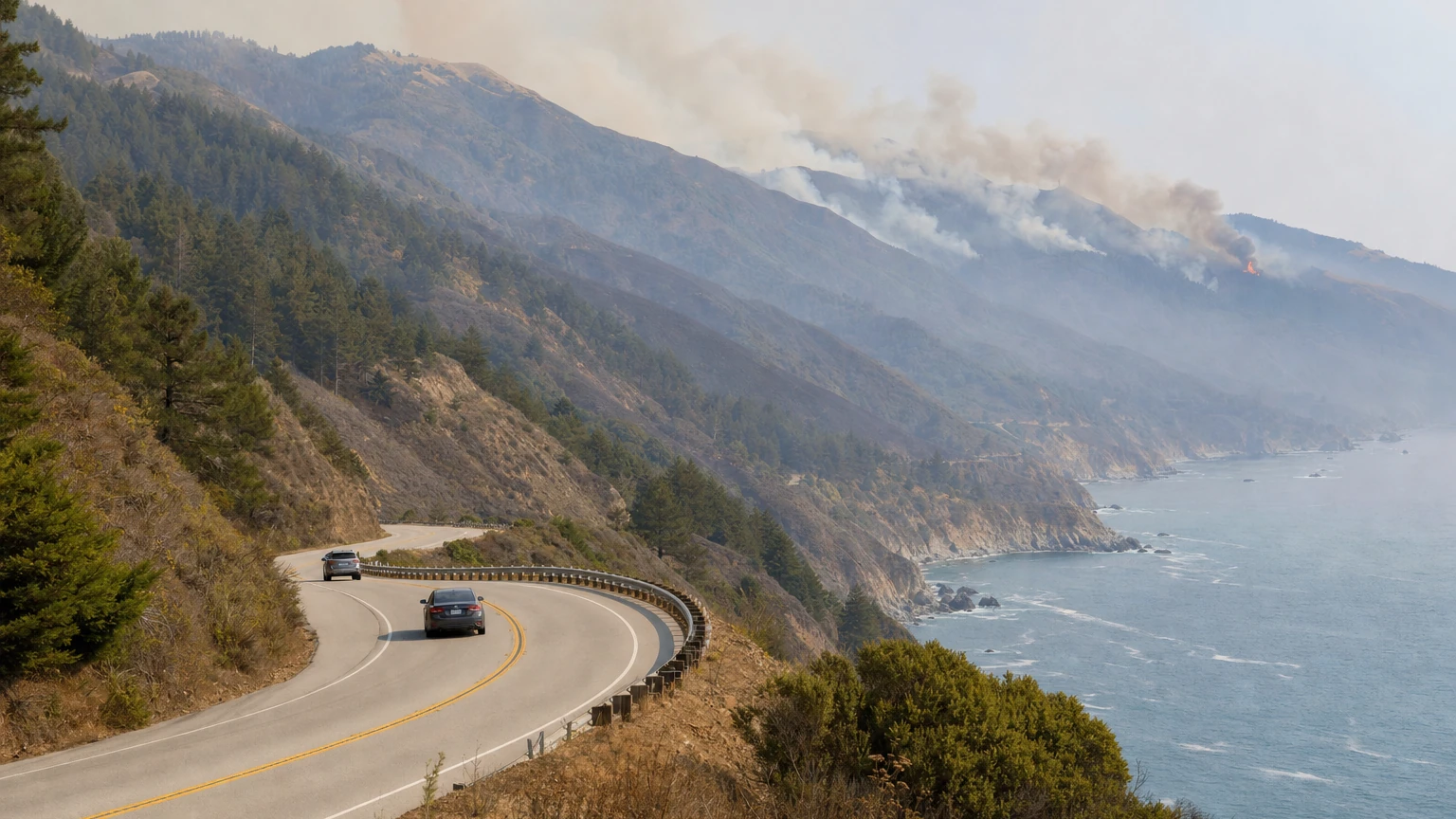
SAN FRANCISCO — Big Sur is more reachable from the north Thursday morning, but Highway 1 is still not open end-to-end and much of the area's usual state-park access remains closed because of the Timber and Plaskett fires.
Caltrans lifted the northern Highway 1 closure at 6 a.m. Thursday, Sept. 3, reopening the approximately 11-mile stretch between post miles 56 and 45 — from just south of the Little Sur River to just south of the Big Sur Post Office.
That restores road access farther into northern Big Sur from the Monterey and Carmel side.
It does not restore through travel down the Big Sur coast. A separate southern closure remains in place because of the Plaskett Fire, and California State Parks says five major Big Sur parks are closed until further notice.
For San Francisco travelers deciding whether to make a Labor Day weekend trip, the practical answer is: you can now drive farther into northern Big Sur, but this is not a normal coastal-road weekend and you cannot drive Highway 1 continuously through the fire area toward San Luis Obispo.
What reopened Thursday morning
The Timber Fire had forced a hard closure between post miles 56 and 45. Caltrans and CHP said that northern closure would be lifted at 6 a.m. Sept. 3, and the closure was lifted on schedule Thursday morning.
The reopening means the northern approach to the Big Sur community is again accessible from the Carmel/Monterey side.
Drivers should still check Caltrans QuickMap immediately before leaving. Wildfire closures can be reinstated or shifted if fire behavior, evacuation needs or firefighting operations change.
Where Highway 1 is still closed
There is still no continuous Highway 1 trip through Big Sur toward San Luis Obispo.
The remaining southern closure is tied to the Plaskett Fire. The current Caltrans/CHP closure runs from Pacific Valley around post mile 16 south to post mile 0.0 at the Monterey–San Luis Obispo County line.
That means a driver heading south from San Francisco can reach northern Big Sur, but cannot continue through the southern fire area and complete the coastal route into San Luis Obispo County.
Caltrans continues to advise motorists to avoid unnecessary travel through affected areas and use U.S. 101 as the alternate north-south route when a through trip is required.
Five major Big Sur state parks remain closed
California State Parks' Sept. 2 closure notice remains in effect for:
- Point Sur State Historic Park
- Andrew Molera State Park
- Pfeiffer Big Sur State Park
- Julia Pfeiffer Burns State Park
- Limekiln State Park
That is a major limitation for a holiday-weekend visitor even where Highway 1 itself is open.
Road access and park access are separate questions. A navigation app may now successfully route a driver into northern Big Sur while the park, campground or trail they intended to visit remains closed.
The Plaskett and Timber fires are still active
CAL FIRE's current incident table lists the Plaskett Fire at about 29,076 acres and 1% containment and the Timber Fire at about 25,223 acres and 22% containment.
The improving road picture reflects progress along the northern Highway 1 corridor; it does not mean the wildfire emergency is over. Evacuation orders and warnings remain in parts of the region, and fire operations continue in steep terrain.
The causes of both fires remain under investigation.
What about smoke in San Francisco?
The Bay Area Air District's earlier smoke advisory for the Timber and Plaskett fires has expired. That does not guarantee smoke cannot return over the weekend because transport depends on winds, plume height and the marine layer.
For San Francisco residents, the more useful check is current neighborhood PM2.5 and AQI, rather than fire acreage alone. AirNow's Fire and Smoke Map provides current plume and sensor information.
Should you go to Big Sur this weekend?
If your plan depends on driving the full coastal Highway 1 route between the Bay Area and San Luis Obispo, no — not under the current closure pattern. The southern fire closure still breaks the route.
If the plan is a shorter trip into northern Big Sur from San Francisco, access is better than it was Wednesday. But several of the region's most popular state parks are closed, fire operations remain active, and officials continue to urge caution around affected areas.
Before leaving, check three things:
- Caltrans QuickMap for the live Highway 1 closure endpoints.
- California State Parks for the specific park or campground you intend to visit.
- Ready Monterey County / CAL FIRE for current evacuation orders, warnings and incident conditions.
A road being technically open is not the same thing as Big Sur operating normally for a holiday weekend.
How we reported this
SF News Today reviewed Caltrans District 5 and CHP closure updates, CAL FIRE's current active-incident data and California State Parks' Big Sur closure notice. The northern Highway 1 closure supporting Timber Fire operations was lifted at 6 a.m. Thursday, Sept. 3; the southern closure supporting Plaskett Fire operations remains in place. Because wildfire travel conditions can change quickly, readers should check Caltrans QuickMap immediately before departure.