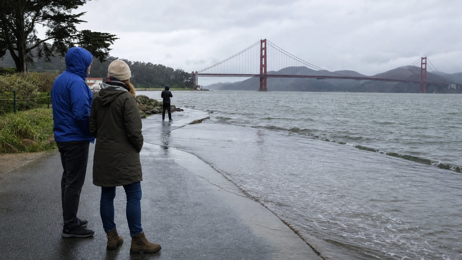
SAN FRANCISCO — The National Weather Service has placed San Francisco under a Coastal Flood Advisory from 6 a.m. Wednesday, November 4, until 1 p.m. Monday, November 9, as higher-than-normal tides are expected to threaten low-lying shoreline and tidal-waterway areas.
The weather service says up to 1.6 feet of inundation above ground level is possible in exposed low-lying locations. This is a forecast risk, not a report that flooding or street closures have already occurred. It also does not mean every neighborhood in San Francisco faces 1.6 feet of water.
When will the highest tides occur in San Francisco?
Forecast tide heights at the San Francisco gauge, measured in feet above mean lower low water (MLLW), are below. All times are PST. Gauge height is not the same as water depth on a road.
| Day | High tide | Gauge height | Above normal |
|---|---|---|---|
| Wed., Nov. 4 | 8:00 a.m. | 6.8 ft | 1.0 ft |
| Thu., Nov. 5 | 8:35 a.m. | 7.1 ft | 1.3 ft |
| Fri., Nov. 6 | 9:08 a.m. | 7.2 ft | 1.4 ft |
| Sat., Nov. 7 | 9:38 a.m. | 7.4 ft | 1.6 ft |
| Sun., Nov. 8 | 10:06 a.m. | 7.4 ft | 1.6 ft |
| Mon., Nov. 9 | 10:35 a.m. | 7.4 ft | 1.6 ft |
The highest forecast levels arrive Saturday through Monday, making this a weekend travel and shoreline-safety story as well as a weekday weather alert. The NWS forecast includes as much as 1.2 feet of surge and warns that tide timing elsewhere around the coast and Bay can differ from the San Francisco gauge by up to 90 minutes.
Where could flooding occur?
The advisory covers San Francisco County, with particular concern for low-lying coastal and bayshore infrastructure near tidal waterways. Local exposure depends on ground elevation, wind and tides. Possible impacts include flooded low-lying infrastructure, isolated road closures and coastal erosion. No specific road closure is confirmed by the advisory itself.
The unusually elevated water may also leave less space to escape on beaches and coastal paths. Avoid getting close to a rising waterline for photographs.
Is this the same as the earlier beach hazards alert?
No. The previous November 2–3 Beach Hazards Statement centered on sneaker waves and rip currents. This November 4–9 advisory specifically concerns elevated tides and possible tidal flooding. Conditions can change, so check the current weather service notice before visiting the shoreline.
What should people do?
Allow extra travel time if using shoreline roads during morning high tides. Never drive through standing water or around a barricade. Residents in properties known to flood at high tide should monitor official updates and protect vulnerable items where feasible.
Sources
- <a href="https://www.weather.gov/wwamap/wwatxtget.php?cwa=mtr&wwa=coastal+flood+advisory" rel="nofollow">National Weather Service San Francisco, coastal-flood advisory issued November 3</a>.
- <a href="https://forecast.weather.gov/wwamap/wwatxtget.php?cwa=usa&wwa=Coastal+Flood+Advisory" rel="nofollow">National Weather Service advisory text for San Francisco County</a>.
Reporting note
Verified against the primary agency source and preliminary local reports on November 4, 2026. Times and vote counts may change; updates will be labelled.