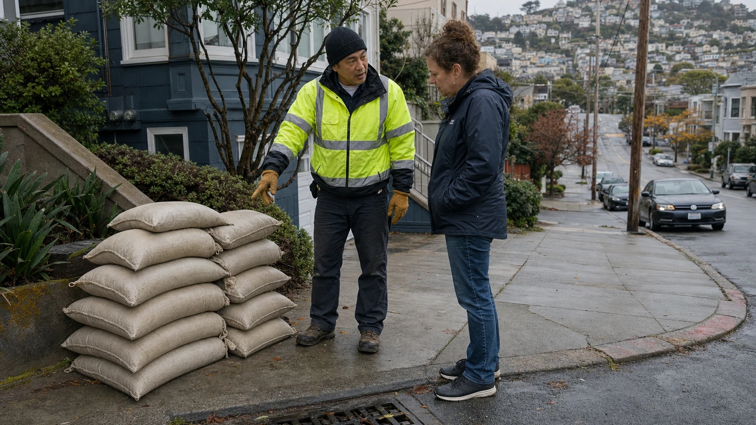
San Francisco residents woke up Thursday, November 19, 2026, after a day of widespread street flooding that stranded vehicles, forced rescues and sent rainwater across low-lying intersections. The National Weather Service issued a Flood Advisory at 2:34 a.m. PST Thursday for San Francisco and parts of San Mateo and Santa Clara counties, noting heavy rain on radar and the risk of minor flooding in poorly drained areas. That particular bulletin was scheduled to expire at 5:30 a.m. PST; check the current NWS San Francisco forecast and alerts for any newer advisory or extension.
This is street flooding, distinct from the separate coastal flooding and dangerous surf caused by high tides and large waves along the waterfront. The latest NWS area forecast discussion expected additional showers and isolated thunderstorms Thursday, while coastal hazards extended into Friday.
Where did San Francisco flood?
These locations were reported affected on Wednesday, November 18. Their inclusion does not mean a street is still underwater or officially closed Thursday morning.
- Mission District — 17th and Folsom streets. ABC7 reported major flooding around this low-lying intersection, where temporary flood barriers had been installed. The San Francisco Chronicle also reported Folsom Street between 17th and 18th streets was flooded, including sidewalks. This is an especially useful place to check before traveling, but the reports are not a live road-closure feed.
- Panhandle — Oak and Cole streets. ABC7 showed flooded roadways and a stalled Waymo vehicle. Separately, the Chronicle described a stalled Waymo ride around Fell Street and Masonic Avenue during the Wednesday storm. Those are reported incidents, not evidence that autonomous-vehicle service is currently suspended.
- Alemany Boulevard and Bayshore Boulevard. San Francisco firefighters rescued two people from flooded roadway conditions after responding to stranded vehicles around 10:35 a.m. Wednesday, according to SFGATE's account citing a Fire Department spokesperson.
- Embarcadero waterfront. Storm-driven waves and water crossed or overtopped sections of protective barriers. Coastal inundation depends on tides and surf as well as rain and should be checked separately from ordinary street-drain flooding.
What did the NWS say Thursday morning?
The 2:34 a.m. PST November 19 Flood Advisory covered San Francisco County and parts of San Mateo and Santa Clara counties. It identified minor flooding in low-lying and poor-drainage areas, not a confirmed citywide evacuation order or proof that all the social-media locations are flooded at the time of reading. The original bulletin specified an expiration at 5:30 a.m. PST November 19. Another NWS notice could change the situation; check the issued time of each alert before making a travel decision.
A separate Coastal Flood Advisory and High Surf Advisory affect low-lying waterfront areas and beaches. The NWS early-Thursday San Francisco forecast page carried a coastal-flood advisory through 10 a.m. Friday, November 20, and high-surf conditions through 4 a.m. Friday. These advisories have their own boundaries and conditions; a flood advisory for inland streets is not interchangeable with them.
Are streets closed? What about Muni, BART and Waymo?
We have not verified a comprehensive current list of blocked San Francisco streets. A street shown flooded in a Wednesday video may have cleared by Thursday, while a fresh downpour can create a new problem. Before leaving, check 511 SF Bay traffic conditions, SFMTA travel updates and BART advisories. The SFMTA advises that intense rainfall and flooding can trigger Muni delays, reroutes and, in severe cases, station closures, but a possibility is not confirmation of a specific route outage.
Waymo was reported to have paused service during Wednesday's flooding, and individual stopped vehicles were filmed in affected streets. Do not assume the pause is still in effect without checking the operator's live rider information.
What to do if your street or property is flooding
- Avoid flooded roads and underpasses. Do not drive or walk into moving or opaque floodwater; water can conceal hazards and leave vehicles stranded. Follow traffic closures and the NWS advice to turn around instead of driving into a flooded road.
- Report non-emergency problems to SF 311. San Francisco identifies 311 as the route for clogged drains, localized non-life-threatening flooding, sewer backups and fallen branches. Submit the precise intersection, nearest address and current conditions. Call 911 if people are in immediate danger or a rescue is needed.
- Protect vulnerable doors and garages. San Francisco Public Works says residents and businesses can obtain up to 10 free sandbags per address. Check the current pickup instructions before traveling; this is not a claim that sandbags will be delivered immediately to an active flood scene.
- Stay clear of displaced manhole covers and suspected sewage. Storms have been associated with backed-up drainage and dangerous openings. Do not lift covers or enter floodwater to attempt repairs.
- Recheck before Friday or weekend travel. Rain, surf and tidal-flood warnings are time-limited and subject to revision. For a coastal trip, use the NWS current hazards rather than assuming conditions are safe because rain is lighter inland.
Why so many streets flooded — and what is not yet established
Heavy bursts of rain can overwhelm surface drainage, particularly in low-lying areas. San Francisco's combined sewer and stormwater infrastructure and localized terrain affect where water collects, but a specific failure, maintenance lapse or design defect has not been independently established for each flooded intersection. The flooding photos alone do not identify a proven cause. City officials had already declared an El Niño preparedness emergency and announced investment in barriers and pumping before the storm.
What we will update
The priority updates are (1) newly issued NWS alerts and their expiry times, (2) street closures confirmed by transport or emergency agencies, (3) Muni/BART operating impacts, and (4) official recovery and sandbag arrangements. A social video will not be used to assert a current closure unless its location and time can be corroborated.
For advance warnings about the same storm, see SF News Today's November 18–19 rain and wind forecast and high-surf and coastal-flood coverage.